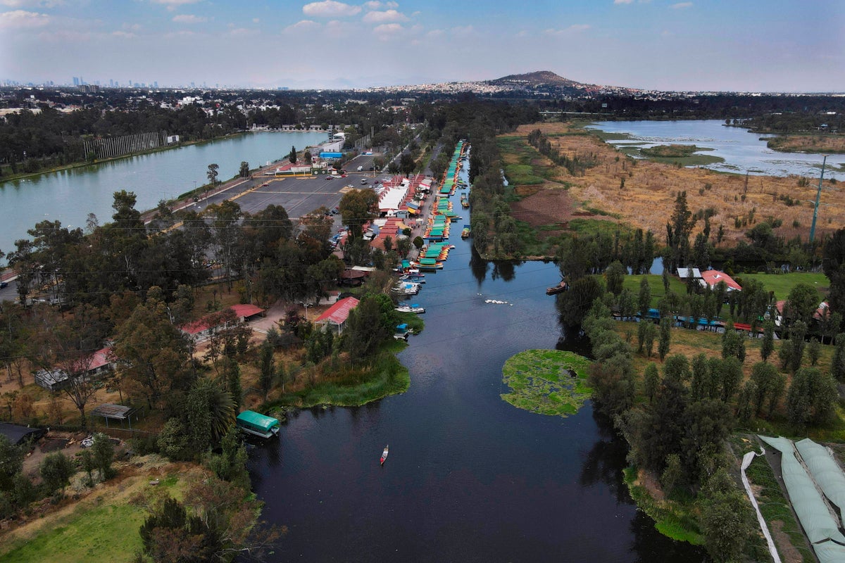
Mexico City is experiencing a dramatic decline, sinking by nearly 25 centimetres (10 inches) each year, according to new satellite data from NASA. This alarming rate places the city among the fastest-sinking major urban centres globally. The sprawling metropolis, which houses around 22 million people across 7,800 square kilometres (3,000 square miles), was originally built on the remnants of an ancient lake bed. This historical foundation is still visible in parts of the city, where downtown streets once functioned as canals and rural areas continue to reflect this aquatic past.
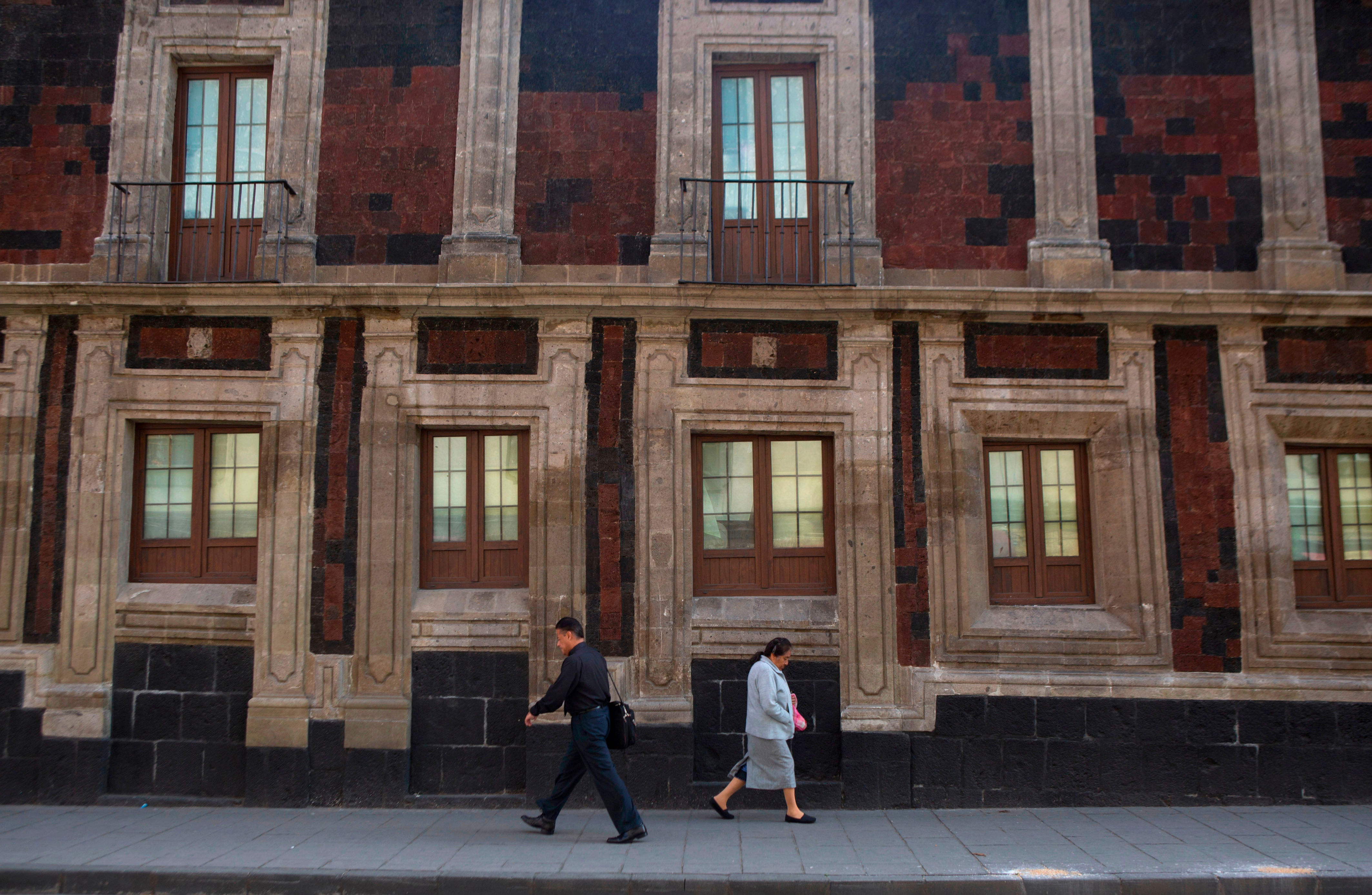
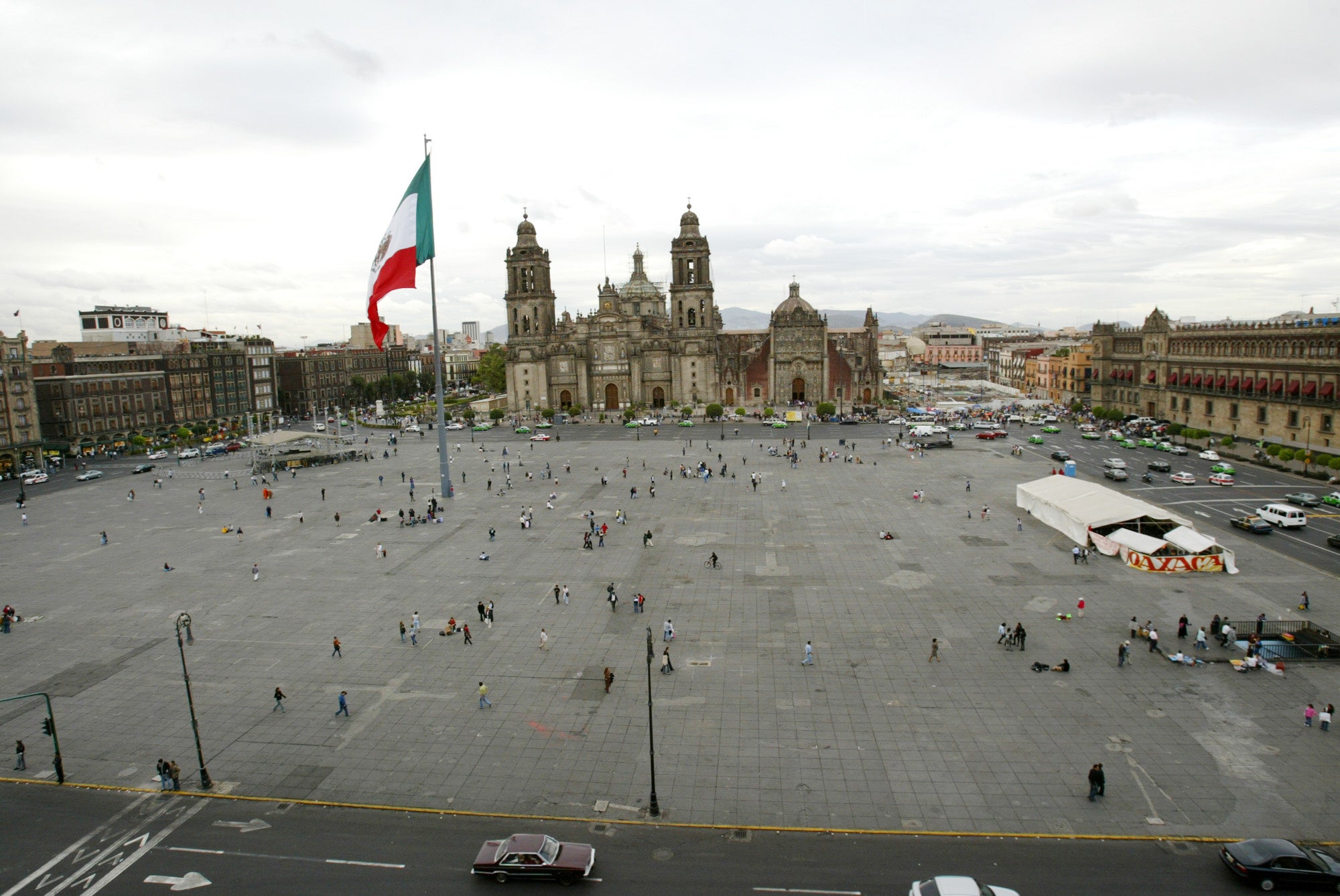
The persistent extraction of groundwater and rapid urban expansion have significantly depleted the underground aquifer that supports the city. This has led to a century-long process of subsidence, causing many historic buildings and monuments, such as the Metropolitan Cathedral, to tilt or shift. The shrinking aquifer also worsens the ongoing water crisis, a problem that experts predict will only grow worse over time.
Enrique Cabral, a geophysics researcher at the National Autonomous University of Mexico, highlighted the severe impact of this issue on critical infrastructure. “It damages part of the critical infrastructure of Mexico City, such as the subway, the drainage system, the water, the potable water system, housing and streets,” he said. “It’s a very big problem.”
The subsidence is so pronounced that it can be observed from space. In some areas, the ground is sinking at an average rate of 0.78 inches (2 centimeters) per month, as reported by NASA. This includes key locations such as the main airport and the iconic Angel of Independence monument. Overall, the city is sinking at a rate of about 9.5 inches (24 centimeters) annually. Over the past century, the total drop has exceeded 39 feet (12 meters), according to Cabral.
“We have one of the fastest velocities of land subsidence in the whole world,” he said.
The NASA findings are based on data collected between October 2025 and January 2026 using the NISAR satellite. This advanced technology, developed through a collaboration between NASA and the Indian Space Research Organization, can monitor real-time changes on Earth’s surface. It provides detailed insights into the planet’s shifting landscapes.
NISAR scientist Paul Rosen explained that the project not only captures surface-level changes but also reveals what is happening beneath the ground. “It’s basically documentation of all of these changes within a city,” he said. “You can see the full magnitude of the problem.”
In the future, the team hopes to refine their measurements to focus on specific areas and eventually track subsidence on a building-by-building level. Beyond Mexico City, researchers aim to apply this technology worldwide to monitor natural disasters, shifts in fault lines, and the effects of climate change in regions like Antarctica.
Rosen mentioned that the technology could enhance early warning systems, enabling scientists to alert governments about potential evacuations during events such as volcanic eruptions.
For Mexico City, the NISAR satellite data represents a significant breakthrough in understanding and addressing the subsidence issue. For years, the government has largely overlooked the problem, focusing only on stabilizing structures like the cathedral. However, recent water crises have prompted officials to invest more in research.
The imagery and data provided by NISAR will play a crucial role for scientists and city planners as they work to develop long-term solutions. “To do long-term mitigation of the situation,” Cabral said, “the first step is to just understand.”