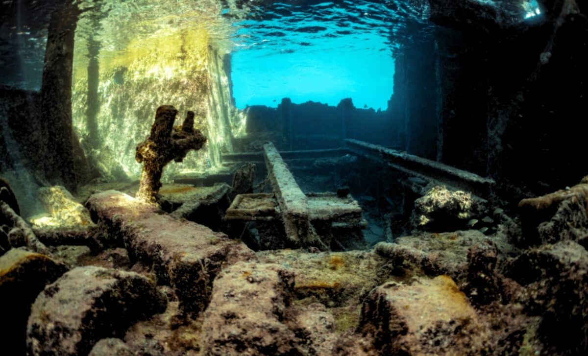
Stone walls, a mosque, an arched bathhouse, and rows of ancient rock-cut tombs sit motionless beneath a reservoir in southeastern Turkey. For nearly three decades, these structures rested in darkness, unseen by archaeologists. New underwater footage, captured during a training dive, has now revealed an intact settlement preserved beneath the Dicle Dam Lake in the Eğil district of Diyarbakır.
The structures include a mosque, a religious school, a cemetery, rock-cut tombs, and a Byzantine-era bathhouse called the Deran Bath. Professor İrfan Yıldız, Dean of the Faculty of Arts and Design at Dicle University, analyzed the footage. The buildings, he confirmed, have kept their structural integrity despite decades underwater.
“In the images taken by the teams or when the water recedes, we can see that these historical structures have preserved their integrity and remain standing in a solid condition,” Yıldız said.
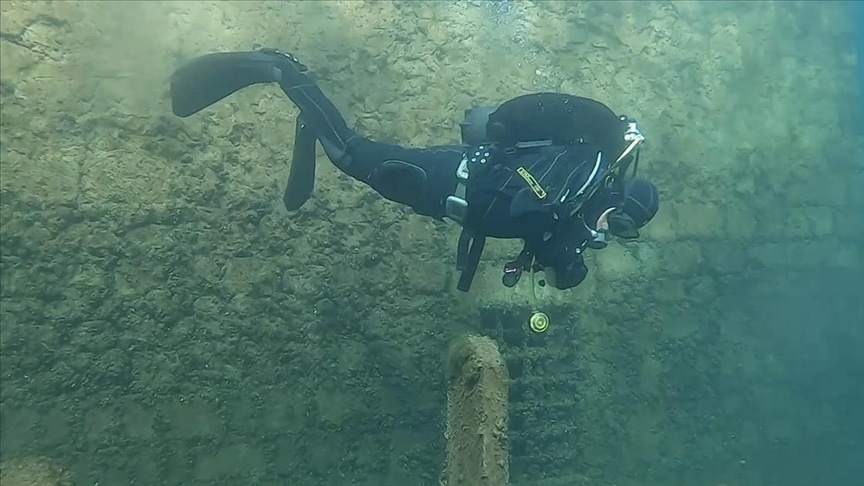
Gendarmerie search and rescue divers recorded the footage during a recent training exercise. Their cameras moved through the submerged quarters, confirming what older accounts and occasional drought exposures had long suggested. The reservoir did not destroy the settlement. It encased it.
A Crossroads of Empires
The Eğil district lies roughly 52 kilometers from Diyarbakır’s city center. People have lived there continuously for thousands of years. The Hurri-Mitanni, Assyrians, Urartians, Persians, Romans, and Byzantines all passed through this corridor before Islamic rule arrived in the 7th century.
Cliffs around the valley still carry rock-cut tombs and inscriptions left by rulers who used the high ground for both defense and display. Each empire built onto what earlier powers left behind. Ottoman-era schools and mosques eventually stood beside burial sites that were already ancient.
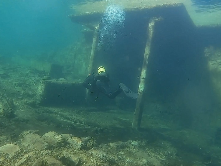
The submerged remains are younger than the valley itself but sit squarely inside that long history. The mosque, madrasa, and cemetery once formed a lived neighborhood where worship, education, and burial happened side by side. The bathhouse sat along an everyday route between sacred structures and the hillside.
Dam construction began in 1986. The Dicle Dam became operational in 1997. As the reservoir filled, it swallowed entire neighborhoods, including the Tekke and Hacıyan quarters, along with their landmarks. Tombs associated with the prophets Zulkifl and Elyesa also stood in the path of the rising water. Authorities moved those tombs to higher ground in 1995. Many other structures stayed where they were.
What the Divers Saw
The recent footage shows a coherent cluster. A tomb stands near a mosque. A religious school sits close to a cemetery. The Deran Bath remains visible along a submerged route, its stone form caught on camera. The layout reflects a functioning settlement, not a scattered set of ruins.
Yıldız, whose findings were published by Dicle University, said the arrangement matches historical descriptions of the drowned districts. Walls, open spaces, and connecting routes are still discernible. The still water and decades without human traffic have shielded the stone from the weathering that erodes exposed sites.
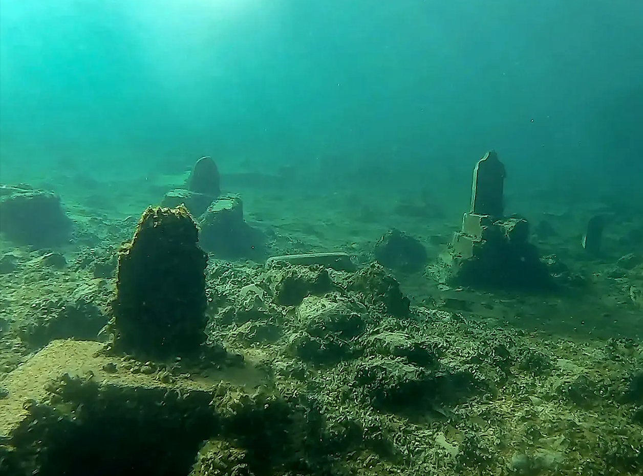
Among the identified structures are the Prophet Elisha tomb and mosque complex and the Ottoman-era Caferiye Madrasa, also called the Lala Kasım Madrasa. Large cemetery areas extend around them.
The footage, however, captures only part of the site. Silt, depth, and limited access hide the rest. No full map exists yet. The condition of structures beyond the filmed area remains unknown. The reservoir does not preserve everything uniformly. Shifting water levels can expose masonry to air, stir sediment, and fracture fragile edges.
A Race to Document
Yıldız has called for formal underwater archaeological studies at the site. He wants to move beyond opportunistic footage and build a systematic record.
“Underwater archaeological studies can be carried out on these remains,” he said.
A proper survey would document which walls still stand, which surfaces are eroding, and which sections need urgent protection. It would also reveal the original construction materials, building techniques, and the settlement’s spatial logic. Without that documentation, the site faces gradual loss.
The reservoir complicates any such effort. Safety rules restrict access. Visibility can drop without warning. Silt can bury features between one observation and the next. Researchers would need to combine underwater photography, mapping, and local testimony to build a reliable record before conditions shift further.
During dry years, falling water briefly exposes parts of the drowned town. Walls and grave markers appear at the surface, letting residents reconnect the old landscape with the modern shoreline. These glimpses confirm that the structures endure. They also show how quickly the site can vanish again.
The Dicle Dam Lake supplies drinking and utility water for the region. Its creation reshaped the Tigris River valley, displacing communities and submerging centuries of built heritage.