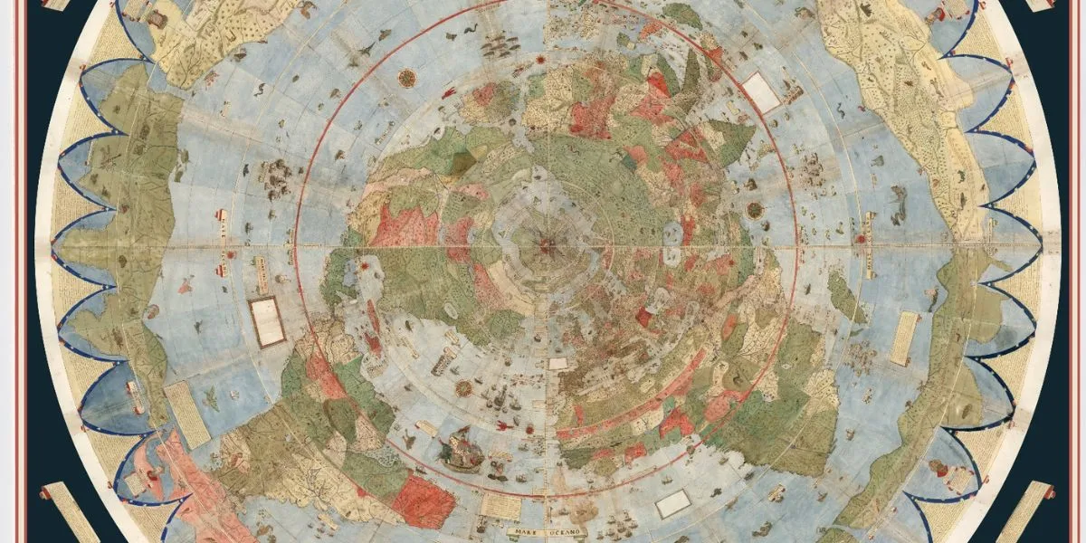
A detail on a 1587 world map has sparked renewed public interest in the Durupınar Formation, a boat-shaped site located in eastern Turkey. This area has long been associated with Noah’s Ark by some Ark-search groups.
According to reports, the image appears on a vast illustrated map created by Italian cartographer Urbano Monte. The map is currently preserved by Stanford University’s David Rumsey Map Center and depicts the Ark in the mountains of Ararat, a region closely linked to the flood story in Genesis.
The observation has drawn attention because Durupınar lies approximately 18 miles south of Mount Ararat. Supporters of the Ark theory suggest that the formation’s outline resembles a vessel and aligns with biblical measurements, often estimated at around 515 feet long and 86 feet wide.
Historical Context
Monte’s planisphere was created during the Age of Exploration, a time when European mapmakers often combined geography with religion, folklore, and accounts from distant lands. His work consisted of 60 sheets and formed a circular map nearly 10 feet wide. Unlike many maps from the period, it placed the Arctic at the center. The artwork includes ships, sea creatures, distant kingdoms, and biblical scenes, making the Ark image historically interesting but not definitive archaeological proof.
Online Attention and Claims
Renewed attention came after online accounts compared Monte’s drawing with the Durupınar site. One widely shared post came from Jimmy Corsetti, a creator known for discussing ancient-history theories. He wrote: “The same location as the Durupinar site, virtually the exact same length. Coincidence?” His comment helped spread the claim online, although it did not provide scientific evidence.
Scientific Debate and Geology
The Durupınar Formation became widely discussed in the 20th century after weather and earthquakes reportedly exposed more of its outline. According to the Daily Mail, Ark-search researchers have continued to examine the site using modern scanning tools. The Noah’s Ark Scans group claims ground-penetrating radar has detected aligned voids and tunnel-like spaces beneath the surface. Andrew Jones told GB News:
“What’s interesting is that these voids are lining up below the ground, and they’re not just random. These tunnels also follow a pattern. GPR is just a way to look below the soil using radar.”
The group has also pointed to infrared thermography as possible support for a buried ship-like shape. However, many geologists remain unconvinced, arguing that radar anomalies can occur naturally in layered rock and sediment.
A 1996 analysis by Lorence Collins and David Fasold described the formation as natural, with supposed man-made features explained by tilted sedimentary layers and mineral deposits including limonite and magnetite.
Conclusion
No peer-reviewed archaeological study has confirmed that the Durupınar Formation contains Noah’s Ark. While the site continues to generate interest and debate, it remains a subject of controversy among scientists and historians. The combination of historical maps, modern technology, and geological analysis highlights the complexity of interpreting ancient sites and the challenges of distinguishing between natural formations and human-made structures.